Shoreline Permitting Information
|
Does my shoreline project require a permit?
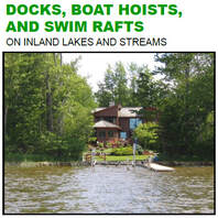
Chances are likely that your project does require a permit through the Michigan Department of Environment Great Lakes and Energy. Most activities that occur within or along the shoreline of inland lakes and streams are regulated under Michigan's Inland Lakes and Streams Act. Examples of work on an inland lake that require a permit include:
|
The Water Resources Division (WRD), within the Michigan Department of Environment Great Lakes and Energy (EGLE), is responsible for protecting the natural resources and the public trust waters of Michigan's inland lakes and streams under the authority of Part 301, Inland Lakes and Streams, of the Natural Resources and Environmental Protection Act, 1994 PA 451, as amended (NREPA). Michigan Inland Lakes and Streams Program
If your project consists of any type of construction activity at the shoreline beware of a contractor that says a permit is not needed. Always check with the appropriate agencies/offices during the planning stages. |
Are you within 500 feet of a lake or stream?
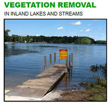
Disturbing soils, removing existing vegetation or changing topography within 500 feet of a lake or stream you will need a Soil Erosion and Sedimentation Control Permit from the county soil erosion inspector under Part 91 ( Soil Erosion and Sedimentation Control).
Disturbing soils, removing existing vegetation or changing topography within 500 feet of a lake or stream you will need a Soil Erosion and Sedimentation Control Permit from the county soil erosion inspector under Part 91 ( Soil Erosion and Sedimentation Control).
Does the Application and Permit Seem Really Difficult?
Information on a Pre-Application Meeting
EGLE's Water Resources Division (WRD) has established a voluntary process for meeting with staff prior to submitting a permit application under Part 301, Inland Lakes and Streams and Part 303, Wetlands Protection, of the Natural Resources and Environmental Protection Act, 1994 PA 451, as amended,. The purpose of a pre-application meeting is to obtain information about a proposed project that may impact wetlands or inland lakes and streams early in the planning process in order to minimize planning costs and delays. Any landowner, or person authorized by a landowner, may request a pre-application meeting with WRD staff.
Can I track the progress of my permit?
Yes. The Michigan Department of Environment Great Lakes and Energy's online permit system, called MiEnviro, allows you to search for applications:
Yes. The Michigan Department of Environment Great Lakes and Energy's online permit system, called MiEnviro, allows you to search for applications:
- New applications received (provided in three 2-week groupings)
- A particular file, specifying the file number or applicant name (typically the property owner)
- Applications within a specified township, county, or section
- Applications received on a certain waterbody
- Active public notices and hearings